 "/>
"/>
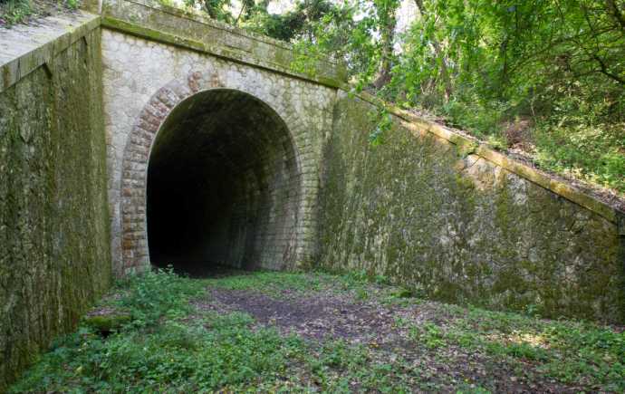
The Castin Viaduct
History of the railway in the Gers
It was in the 30s (ie before the creation of the SNCF in 1938) that the Gers railway network reached its maximum development. However, it should be noted that some lines have been started and never finished, such as the Auch / Lannemezan line.
These lines have often suffered development delays due to the First World War. Despite the revival plans of the 30s, the Second World War and the development of the automobile put a definitive end to plans to extend the network.
The network was then gradually reduced, first by closing certain sectors to travelers, such as the Condom / Castéra-Verduzan line in May 1939 or the Mont-de-Marsan / Riscle / Tarbes line in 1970.
To date, the line Auch/Toulouse is the last one open to travelers and the Auch/Agen line, currently stopped, was used for the transport of goods, particularly agricultural goods. Buses are available for most other routes. Here is also some information for get around Auch easily without a car.
However, localities called “La Gare”, old gatekeepers' houses, the profile of certain particularly flat and rectilinear roads or beautiful works of art, bear witness to this not so distant past. Reading the top 25 IGN maps or analyzing the land register then reveals the passage of the old tracks.
Among the remarkable works of art, we can note the Castin viaducts or Castera-Verduzan or Duran-Castin tunnel.
Justin
Discovery routes
The closure of these lines has made it possible to develop new activities or to make tunnels into precious bat refuges. Among the new activities: the Armagnac bike-rail and the Armagnac Green Way.
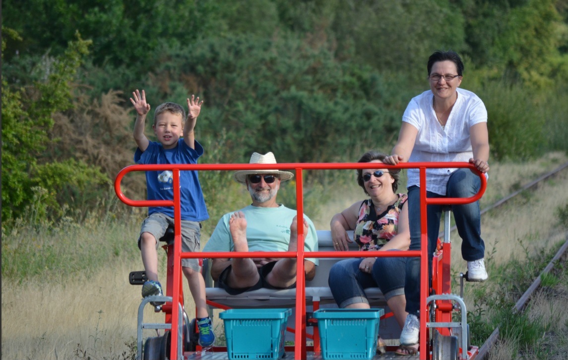
The Armagnac bike-rail
Departing from Nogaro, the Armagnac rail bike offers since 2014 a family course on 4-seater vehicles.
Learn more
on the Armagnac Vélorail
The greenway of Armagnac
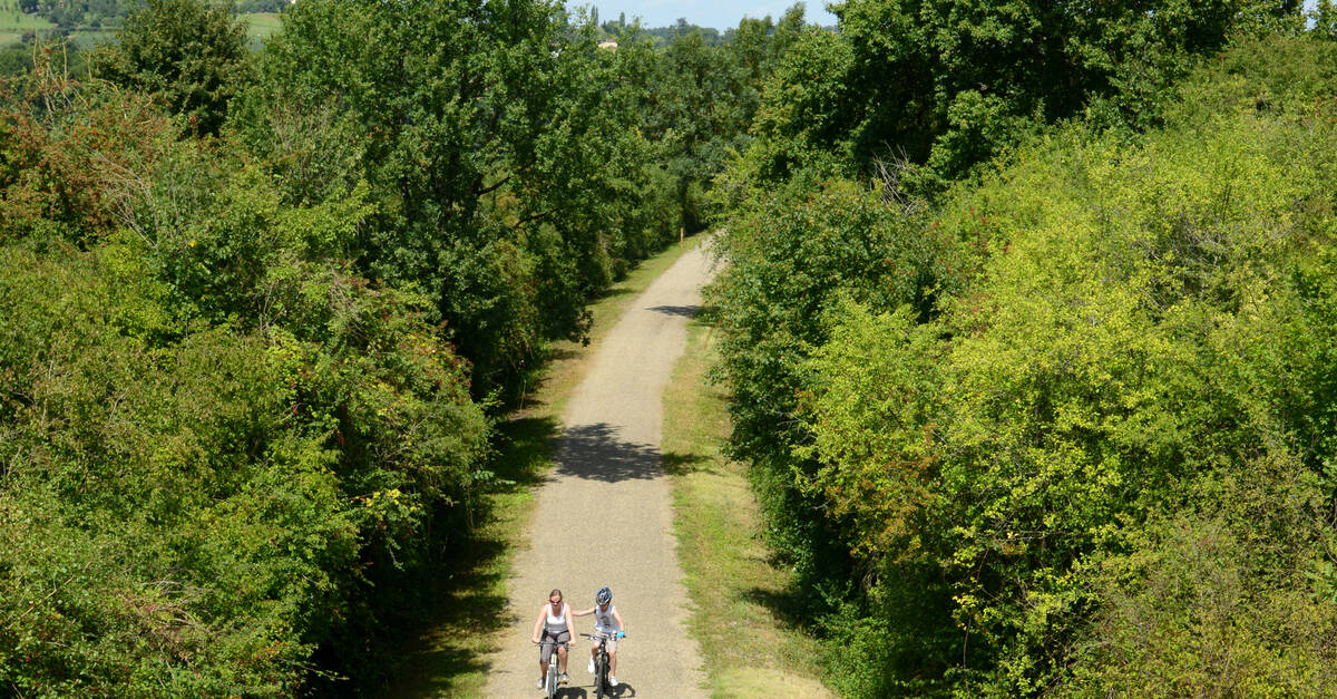
On a route where the rails have been removed, the green way offers a family walk route to be covered on foot or by bike. It connects Condom to Gondrin, famous for its beautiful leisure center.
Learn more
on Greenway of Armagnac
Map of railways and structures
Legend:
- in red the route of the bicycle-rail
- in green, the route of the green lane
- in black, the lines still used
- in gray, the merchandise line, Auch-Agen currently at a standstill
- in blue, the disappeared lines
- the red dots correspond to structures (bridges or tunnels) now unused by trains.